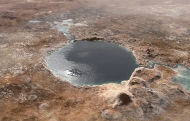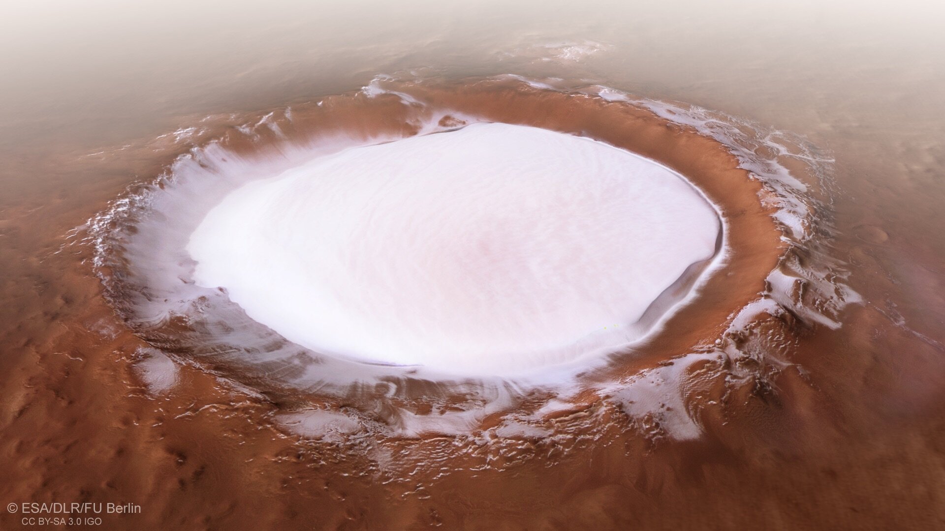
Where we can locate old signs of water on Mars is shown by a new map that has been years in the making.
The most thorough map of specific Martian mineral deposits has been produced using data from the Mars Express and Mars Reconnaissance Orbiters, both of which are currently orbiting the red planet.
- This Cherished Galileo Letter was Valued as a Gem. But It’s A Complete Fake
- He dropped the ‘bomb’ on the royal family again: I had to work even the day my son survived the fire
Aqueous minerals, such as clays, which have been modified by the presence of water, are present in the deposits.
We are aware that clays exist on Mars, and the Curiosity rover has even allowed us to get as near as we can to some of them. A more extensive map of their locations, however, will help us plan future exploration of the now dry and dusty world and provide a more complete picture of Mars’s aqueous past.

Contrary to predictions, the map demonstrates that we will undoubtedly discover something interesting on Mars wherever we go.
There were about a thousand known aqueous mineral deposits on Mars before the survey began. The University of Paris-Saclay and Aix Marseille University in France’s new research, which is being conducted by planetary scientist John Carter (okay, this is eerie), has detected a large amount more.
On Mars, at least, there are hundreds of thousands of aqueous mineral deposits, especially in some of the oldest regions of the planet’s surface, according to the new map.